Forecasters usually turn to satellite readings, radar, weather sensors, and global communications to predict the weather. But merely by cloud-gazing, anyone can make weather predictions. To do that, you will need to know at least one cloud type:
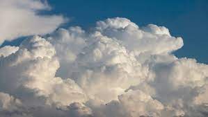
This is a cumulus cloud. They are the classic, puffy clouds of summer and one of the most easy clouds to identify. When they group together, they may form a cumulonimbus cloud, which is a sure sign of rain or a thundershower.
Here are some basic weather patterns to the weather that appear across North America:
If cumulus clouds travel alone across the sky on a west or northwest wind, and any morning fog burns off by noon, fair weather will continue through the day and possibly into the next day.
If cumulus clouds have formed large towers by noon, or joined together, or if a south wind picks up speed, it’s going to rain soon.
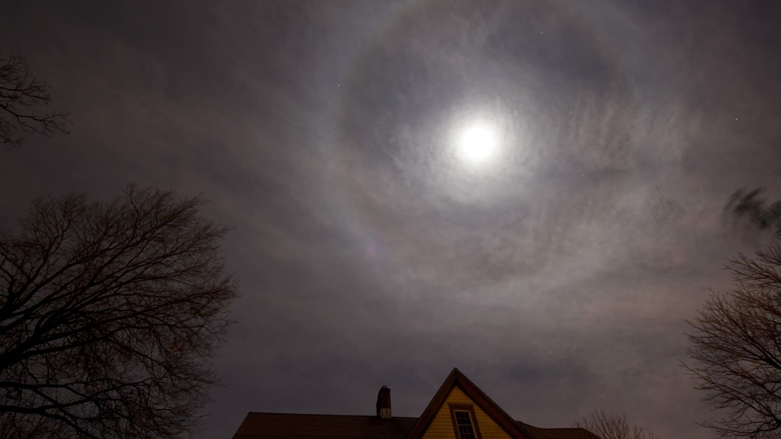
If a halo around the moon, created by high-altitude ice crystals, is shrinking or close to the moon, rain or snow will arrive in about 12 hours.
A faint halo is visible around this moon.
South winds shifting to the west, along with a lifting cloud ceiling, means clear skies are on the way.
Expect a cool night if the sky is clear and winds are light.
If clouds of different types are traveling in different directions at different levels, it’s a safe bet that the weather is about to get worse and possibly even severe.
Heavy banks of dark clouds on the western horizon mean rain or thunderstorms are coming.
Have you ever tried these methods? Do you know any other simple weather prediction methods that can be done at home? Please comment below!